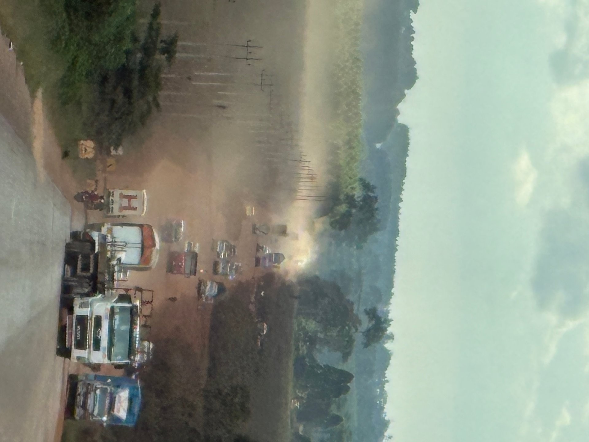
After being collected from Entebbe Airport, the road north leads through Kampala — dense, energetic, full of boda bodas threading between the heavier vehicles at every junction. That part of the journey is what most visitors describe when they talk about Ugandan traffic. But the route south and southwest from Kampala, toward the lake's own shore, has a different character entirely. The Masaka Highway runs in a different direction, away from the city density and out across the central plateau, and in January 2026 it was in the middle of a substantial reconstruction that had turned significant stretches of it into something that required patience, a closed vehicle, and a tolerance for dust.
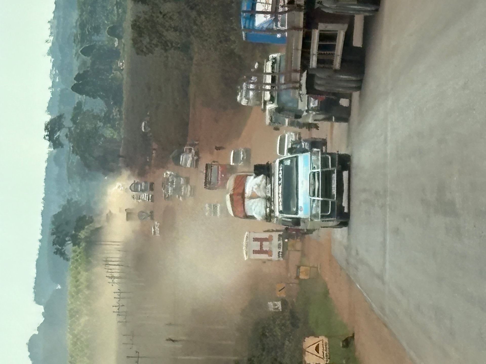
I drove the Masaka Highway in January 2026, during an eleven-day stay in Uganda that included multiple road journeys in different directions. The highway is a long road — the dust on it in dry conditions is the fine red laterite dust that coats everything. Trucks in front of you raise a cloud that settles slowly, and vehicles without air conditioning — which includes most of the boda bodas running alongside the main traffic — operate in permanent haze during construction sections. The boda boda riders were visibly dealing with it more than anyone else: no windscreen, no cabin, full exposure to whatever the road threw up. The reconstruction is a multi-year programme, and the conditions I saw were mid-project: some sections newly surfaced, some still raw sand and stone, with the characteristic disorganisation of a large linear construction site.
This road matters for Lake Victoria visitors specifically because it is the primary overland route from Kampala to the lake's Ugandan southern and western shoreline. Anyone travelling to the Ssese Islands, to Masaka town and the ferry points, or further southwest toward the Rwanda and Tanzania borders is on the Masaka Highway. Understanding what it offers — and what it currently demands — is part of planning any Lake Victoria itinerary that goes beyond Entebbe.
The Masaka Highway as a Route to the Lake
The geography of Uganda places Kampala on a ridge overlooking Lake Victoria's northern shore. The lake's Ugandan coastline runs from Entebbe and Kampala westward through a series of bays, peninsulas and landing sites before the border crosses into Tanzania at the southwestern corner. The Masaka Highway follows this general direction, running roughly parallel to the lake at a distance of 20–50 kilometres inland, until it reaches Masaka town — approximately 130 kilometres from Kampala — from which roads branch south toward the lake's shore at Bukakata and other landing points.
Masaka town itself is a significant regional commercial centre — larger and more functional than most visitors expect from a town this far from the capital. It has banks, markets, fuel stations and accommodation, and it serves as the practical hub for anyone exploring the lake's southwestern Ugandan shore. The ferry crossing from Bukakata to Bugala Island in the Ssese Archipelago is the main reason international visitors come this way. That crossing provides a slower but more scenic approach to the Ssese Islands than the ferry from Kasenyi near Entebbe, and it avoids the need to pass through Kampala again on the return journey if the onward route is westward.
The road between Masaka and the lake shore at Bukakata passes through fishing communities, market villages and agricultural land before reaching the water. In October 2024, driving from various points around central Uganda, the landscape change along this corridor was striking: the roadside commerce and density of small towns give way to quieter agricultural areas and then to the flatter, greener terrain that signals proximity to the lake. The air changes — cooler, heavier with moisture — before the water itself is visible.
What Road Rehabilitation Actually Looks Like From Inside a Vehicle
Uganda's road investment programme is visible from the ground in a way that budget documents do not fully convey. The Masaka Highway in January 2026 showed the characteristic pattern of a major road reconstruction project mid-execution: clear stretches of new tarmac, abrupt transitions to bare laterite or compacted gravel, construction vehicles parked or moving at odd angles to the traffic flow, and the constant presence of pedestrians and boda bodas navigating the same space as trucks weighing twenty times as much.
The heat compounds everything. Many vehicles on Ugandan roads, including trucks covering long distances, have no air conditioning. Drivers of these vehicles experience the full ambient temperature plus whatever heat rises from the engine beneath them. Boda boda riders have no protection at all. When a section of road is being resurfaced and traffic is diverted onto a temporary parallel track of loose material, the dust cloud generated by heavy trucks does not clear quickly. Smaller vehicles — and riders — follow behind in conditions that a European or North American traveller would immediately pull over to escape. In Uganda, it is simply the road.
The Kampala City Roads Rehabilitation Project (Project 1658) addresses the urban end of this corridor separately from the intercity highway. Within the city limits, the 2024/25 programme included the configuration and signalisation of 22 junctions, partly financed by the Asian Development Bank (MPS 2024-25). Signalised junctions are a qualitatively different intervention from road resurfacing — they address conflict points in a network where vehicle volumes have grown faster than lane capacity, and where the mix of vehicle types (large trucks, boda bodas, bicycles, pedestrians) makes uncontrolled intersections consistently dangerous.
KCCA's Infrastructure Modernisation: The Retooling Programme
Alongside the roads rehabilitation programme, the Kampala Capital City Authority is executing a parallel modernisation of its own institutional capacity under Project 1686 — the Retooling of KCCA. This project had an investment budget of approximately 2.226 billion Uganda Shillings in 2024/25, covering medical equipment, administrative facilities and institutional capacity development across KCCA's functions.
The retooling investment is relevant for visitors in a specific sense: it includes the upgrading of KCCA-managed health facilities across the five city divisions. Kampala's KCCA health system operates community health centres and urban health facilities alongside the national health system. For travellers, KCCA-managed facilities are not typically the first option — private hospitals and clinics with more reliable supply chains and English-language staff are more accessible. But understanding that KCCA manages a health infrastructure covering the city's five divisions — Central, Makindye, Lubaga, Kawempe and Nakawa — gives context for what the authority's 65.6 billion Uganda Shilling education and health budget is actually providing.
The KCCA Statistical Unit, a dedicated unit within the authority, produces and maintains the data underpinning planning decisions. Urban growth in Kampala was recorded at 5.6% per year in the 2018 Multi-Hazard Risk and Vulnerability Profile — a figure that should be treated as indicative rather than current, given the pace of change, but which signals the scale of demand pressure on all city services, including health and education. Rural-urban migration was identified as the primary driver of that growth, bringing people into the city from across Uganda's regions at a rate that infrastructure investment has consistently struggled to match.
[VOICE FEHLT: traveller or driver on the Masaka Highway route]
The Road North: Kampala to Murchison Falls via Lubwerro
The highway to the north — toward Murchison Falls National Park — offers a different experience of Uganda's road network. In October 2024, driving north from Kampala through Lubwerro, the road was well-maintained tarmac for most of its length, passing through a landscape of increasing openness as the central plateau transitions toward the northern savanna. Lubwerro itself — a small town on the Kampala Road — had the comfortable density of a place that exists because the road passes through it: a row of market stalls with red awnings, a handful of permanent structures, the specific quality of friendliness that roadside towns in Uganda consistently produce.
The difference between the northern Kampala Road and the Masaka Highway is not primarily about road quality — both have been the subject of significant investment — but about landscape and purpose. The northern route leads to game parks and eventually to the border with South Sudan. The southern and southwestern Masaka route leads to the lake, to the ferry, to the islands. Travellers using Uganda as a transit country on their way to Rwanda or Tanzania will also use the Masaka Highway, making it a genuinely international corridor despite its current construction conditions.
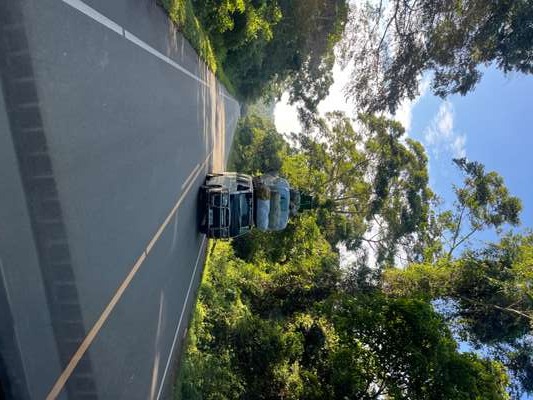
On the Murchison route in October 2024, we encountered the image that captures Uganda's informal logistics perfectly: a minibus heading in the opposite direction with a cargo of mattresses and household goods stacked on its roof at least as high again as the vehicle itself. The load was secured, the bus was moving at a normal speed, and no one on the road appeared to find it unusual. Uganda's transport system accommodates what it needs to accommodate, and the roads — rehabilitated or not — carry all of it.
Practical Notes for Lake Victoria-Bound Travellers
The road choices facing a visitor to Uganda's Lake Victoria shoreline from Kampala are essentially three: north toward Murchison and then back; east toward Jinja and the Victoria Nile; or south and southwest on the Masaka Highway toward the lake's Ugandan shore and the Ssese Islands ferry. These are not competing choices — they serve different destinations and different interests — but they share the same entry point through Entebbe and Kampala.
For the Masaka Highway direction, the practical notes for 2026 are as follows. Construction sections are active and conditions vary. The dust on dry days is significant, and a vehicle with working air conditioning and sealed windows makes a qualitative difference. Journey times should be padded — conditions that suggest 2 hours in a timetable can produce 3 or more hours on the ground. Fuel stations are present at regular intervals through Masaka and the larger towns, but filling up in Kampala before departure remains the more reliable approach. The Bukakata ferry to Bugala Island runs on a schedule that should be verified locally, as it is affected by weather and maintenance.
For travellers using the route on a longer itinerary — entering Uganda at Entebbe and exiting southwest into Rwanda or Tanzania — the Masaka Highway is essentially unavoidable. The road that Uganda is investing hundreds of billions of shillings to rehabilitate is the same road that those travellers will be on, in whatever condition the current work phase has left it. The investment is real, the improvement is real, and the dust of the construction phase is equally real. All three are honest features of the same thing: a country building the infrastructure its economy and its lake require.
Explore Further
Frequently Asked Questions
What is the Masaka Highway in Uganda?
The Masaka Highway is Uganda's main road corridor between Kampala and the southwest, passing through Masaka town approximately 130 kilometres from the capital. It runs broadly parallel to Lake Victoria's Ugandan shoreline and is the primary overland route for visitors reaching the lake's southwestern shore and the Ssese Islands ferry at Bukakata. The route also continues to the Rwanda and Tanzania borders, making it an international transport corridor.
How long does the drive from Kampala to Masaka take?
Under good conditions, the drive takes approximately 2–3 hours. In January 2026, with active road rehabilitation works generating dust conditions and reduced road width on diversion sections, journey times were extended. Construction-phase conditions are variable by section — some parts newly resurfaced, others still on unpaved diversions. Always allow extra time and check current road conditions before departure.
What is the Kampala junction signalling programme?
Under the Kampala City Roads Rehabilitation Project (Project 1658), 22 junctions within Kampala were configured and signalised in the 2024/25 financial year, partly financed by the Asian Development Bank. Signalised junctions address conflict points in a road network where vehicle volumes — including large trucks, boda bodas, bicycles and pedestrians — have outgrown the capacity of uncontrolled intersections.
What medical facilities are available in Kampala for travellers?
Private hospitals including International Hospital Kampala and Nakasero Hospital are the standard options for international visitors needing medical care. Mulago National Referral Hospital is the main public facility for serious emergencies. KCCA manages community health facilities across all five city divisions under its health budget, which was approximately 65.6 billion UGX for 2024/25. Travel insurance covering medical evacuation is strongly recommended for extended Uganda travel. [RECHERCHE NOETIG: current facility contacts and pricing]
Is the road from Kampala to Lake Victoria's shore currently under construction?
As of January 2026, the Masaka Highway was undergoing active multi-year rehabilitation with sections reduced to unpaved diversions with significant dust. The Kampala end of the corridor is addressed separately by the city's roads programme, which signalised 22 junctions in 2024/25. Conditions improve in completed sections but are variable throughout the construction programme. Travellers should expect extended journey times and plan accordingly.