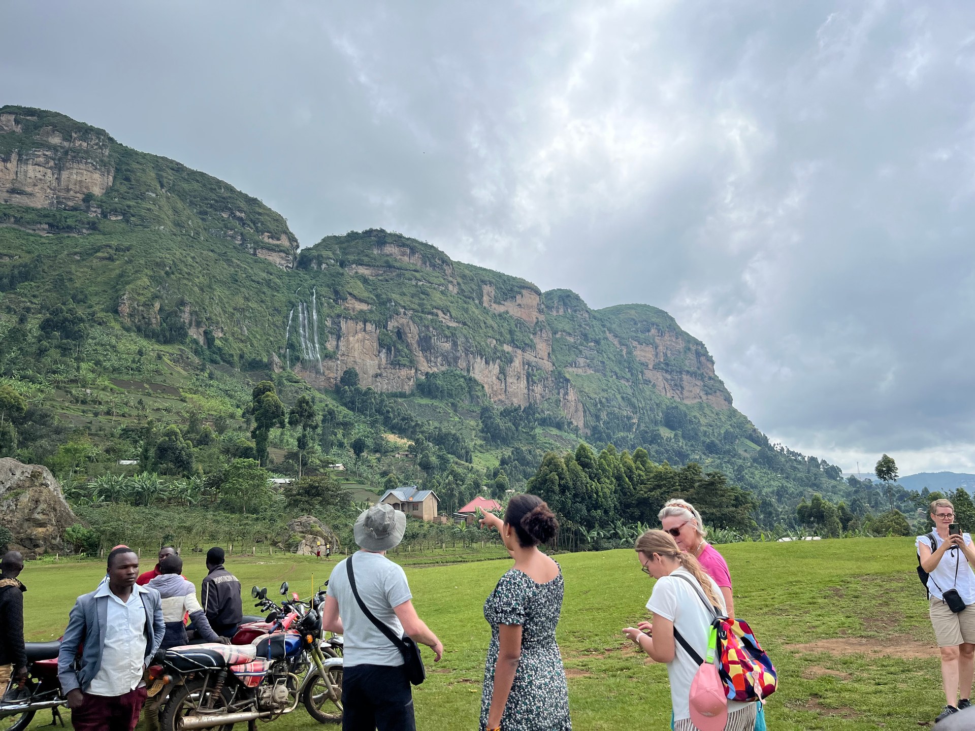
Somewhere in Buhoma in January 2026, a boy of about ten sat on a mound of broken stone and worked. He was splitting rocks by hand — reducing larger pieces to smaller aggregate that his family would sell as building material, the kind of rough gravel that gets tamped into the foundation of a new house. He looked up and grinned when he noticed us watching from the road. There was nothing resigned in that expression, nothing that asked for anything. It was simply the frank curiosity of a child who noticed he was being observed.
What that moment illustrates — beyond the economic reality it contains — is how directly the physical material of Uganda flows from the land into people's daily lives. Stone, soil, water: these are not abstractions in a country where households still build their foundations by hand, where a boda boda (motorcycle taxi) driver balances a stack of water jerry cans across his handlebars without a helmet, and where fishing families live on islands without electricity in the middle of the largest lake in Africa. I have visited Uganda across multiple trips since October 2024, and one of the most persistent impressions is of how directly and consequentially the environment — the rainfall, the lake, the rivers — shapes every aspect of daily existence here.
Lake Victoria sits at the centre of that relationship. It is the source of rain that falls back onto its own catchment, the habitat for over 180 fish species, the transport route for island communities, and the water supply for millions of people. Understanding how much rain falls around the lake, what lives in its water, and what the lake offers to visitors is inseparable from understanding Uganda itself.
How Much Rain Falls Around Lake Victoria — and Why It Matters
Uganda's rainfall is extreme in its geographic variation. According to Uganda's National Status of the Environment Report 2024 (NSOER 2024, Part 4), the Lake Victoria region received approximately 2,650 millimetres of rainfall in 2023 — the highest figure of any region in the country, and a year that NSOER 2024 identifies as one of the wettest on record. At the opposite end of the spectrum, Karamoja in Uganda's arid northeast received approximately 507 mm in the same year — less than a fifth of what fell over the lake.
That contrast between 2,650 mm and 507 mm in a single country, in a single year, explains much of what differentiates Uganda's regions from each other: the density of settlement, the types of crops grown, the character of the landscape, the availability of water for communities that depend on rain-fed agriculture. Lake Victoria does not just receive rainfall — it generates it. The lake's enormous surface area (68,800 square kilometres) means it acts as a major moisture source for the whole region, with evaporation from the lake feeding back into the local precipitation cycle. The communities living on its shores and islands benefit from this moisture but also live with its consequences: high humidity, strong afternoon storms, sudden squalls that can swamp wooden fishing boats within minutes.
For Kampala, situated on the northern shores of Lake Victoria, the climate data is relatively well documented. April is the wettest month, receiving between 169 and 180 mm of rainfall on average — a significant monthly figure that causes regular flooding in the city's low-lying areas and wetland-adjacent neighbourhoods (Multi-Hazard Risk and Vulnerability Profile 2018). The annual temperature swing across all twelve months is only about 2.1 degrees Celsius — the lake's thermal mass acts as a powerful climate regulator, preventing the temperature extremes that characterise Uganda's inland plateaus. July is typically the coolest month in Kampala, with mean temperatures around 20.1 degrees Celsius.
| Region | Annual Rainfall (2023) | Character |
|---|---|---|
| Lake Victoria basin | ~2,650 mm | Highest in Uganda — bimodal rains |
| Western Uganda | ~1,200–1,500 mm | Moderate — highland influence |
| Central Uganda (Kampala) | ~1,200 mm | April wettest (169–180 mm), July coolest |
| Karamoja (northeast) | ~507 mm | Driest — semi-arid pastoral land |
Sources: NSOER 2024 Part 4; Multi-Hazard Risk and Vulnerability Profile August 2018.
For visitors planning a trip to Lake Victoria, the rainfall pattern shapes which experiences are practical at which time of year. The long rains (March to May) bring rough water and reduced visibility for boat trips. The short rains (October to November) are more variable — storms arrive quickly and dissipate quickly, and boat operators generally continue working through them with care. The two dry periods — December to February and June to August — offer the most consistently pleasant conditions for time on the water, though the lake never becomes a glassy pond: afternoon winds and weather build-up are a year-round feature of a body of water this large.
What Lives in the Lake — 183 Fish Species and a Changed Ecosystem
Lake Victoria contains approximately 183 documented fish species (NSOER 2024, Part 7). This number sounds impressive in isolation, but it represents a fundamentally altered ecosystem rather than an intact one. Before the introduction of Nile perch (Lates niloticus) into the Ugandan section of the lake in the early 1950s, and its subsequent spread across the entire lake over the following decades, the lake supported well over 500 endemic cichlid species — small, specialised fish that had evolved over tens of thousands of years to occupy specific ecological niches within the lake's complex underwater environment. The Nile perch, a large predatory fish reaching up to two metres in length and over 200 kg, did not integrate into this community: it consumed it.
The ecological shift that followed is one of the most thoroughly documented examples of invasive species impact on a freshwater ecosystem anywhere in the world. Over several decades, the endemic cichlid diversity collapsed. Species after species disappeared from scientific collections and local catches. Some scientists estimate that as many as 200 cichlid species may have gone extinct — a loss of unique evolutionary lineages that can never be recovered. What replaced them was a lake dominated by three commercially exploited species: Nile perch, tilapia, and mukene (Rastrineobola argentea), the small sardine-like fish that is dried in large quantities along Uganda's shores and forms an important protein source for communities across the region.
The current figure of 183 species includes these dominant commercial species alongside surviving cichlid populations, catfish, lungfish, and various other native taxa that occupy marginal or deep-water habitats less accessible to Nile perch. NAFIRRI — the National Fisheries Resources Research Institute, based in Jinja on the northern shore of the lake — continues to monitor and study the lake's fish populations, documenting both the ongoing presence of surviving endemic species and the pressures that continue to affect them: water quality degradation, invasive aquatic plants, overfishing, and climate-linked changes to oxygen levels in deeper water.
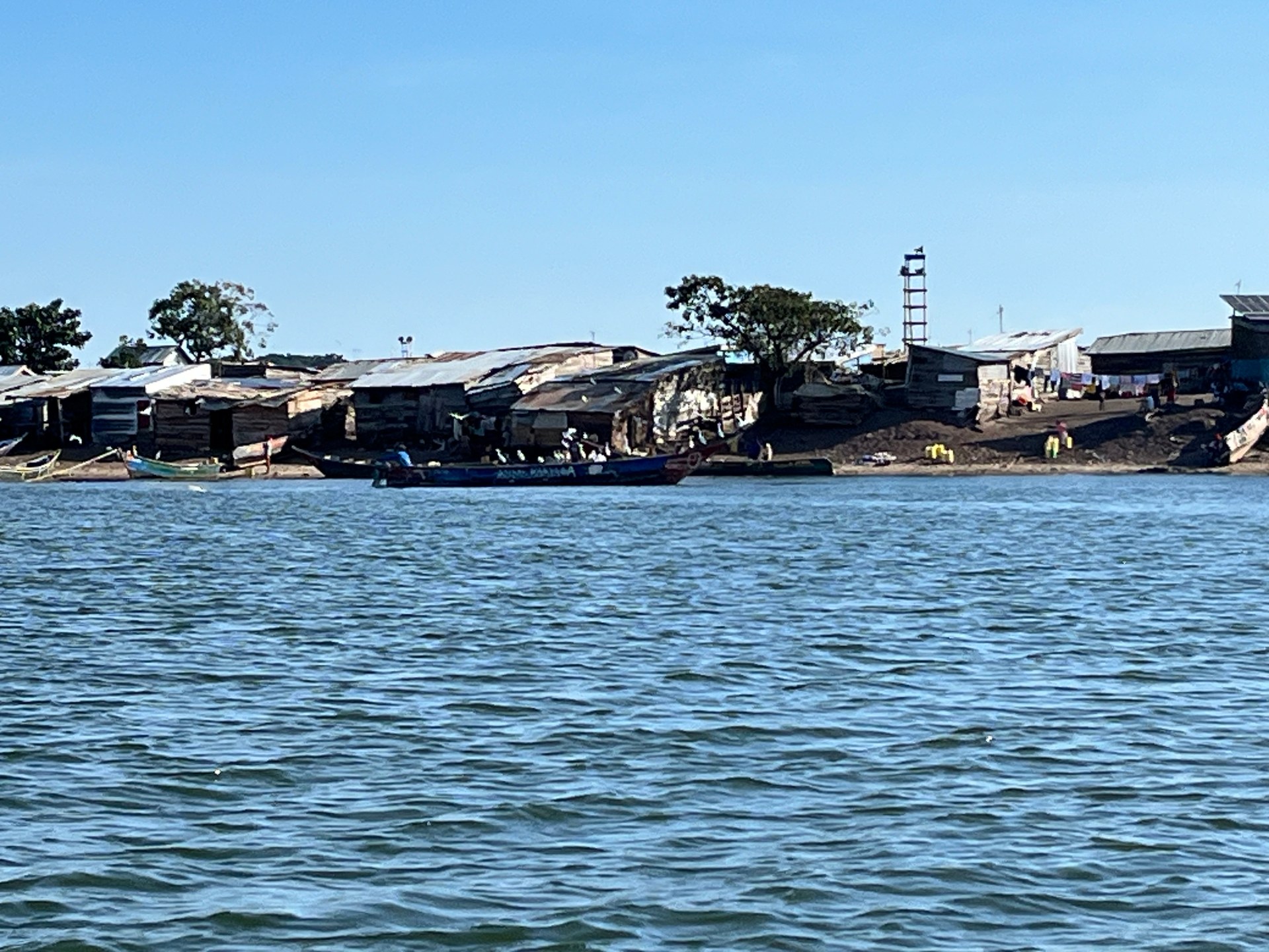
On the way from Entebbe to Ngamba Island in October 2024, our boat passed close to one of these island fishing communities. Viewed from the water, the settlement was vivid with activity: wooden boats pulled up on a narrow beach, iron roofs catching the morning light, people moving between structures. There was no electricity on the island, no running water. The community relied entirely on the lake for their livelihood and, in practical terms, for most everything else. The fish they catch represent both their income and a critical food source — which is why the long-term health of the lake's fish populations matters not as an abstract ecological question but as a direct determinant of whether these communities can sustain themselves.
Water hyacinth concentrations in the Murchison Bay section of Lake Victoria — particularly around the Ggaba, Salama and Buziga areas in Kampala's Makindye Division — represent one of the most immediate ongoing threats to fishing access in the Ugandan section of the lake (Multi-Hazard Risk and Vulnerability Profile 2018). The same eutrophication dynamics that fuel hyacinth growth also drive the oxygen depletion events that periodically kill large numbers of fish in enclosed bays and shallow nearshore areas, compounding the pressure on already-depleted stocks.
Biodiversity Beyond Fish — The Lake's Broader Aquatic Community
A lake the size of Victoria is not just fish. The aquatic community includes hippopotamuses, Nile crocodiles, several species of river otter, a diverse assemblage of waterbirds including various heron species, cormorants, fish eagles and — in the papyrus swamps along the shore — the shoebill stork (Balaeniceps rex), one of Africa's most distinctive and sought-after birds. The Mabamba Bay wetland on the northwestern shore of Lake Victoria, about 45 km from Entebbe, is Uganda's most reliable location for shoebill sightings and has become a significant ecotourism destination in its own right.
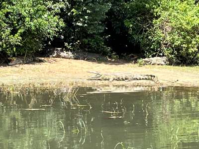
The crocodile populations in Lake Victoria and the Victoria Nile downstream are substantial. During a boat safari on the Victoria Nile through Murchison Falls National Park in October 2024, we spotted Nile crocodiles at regular intervals along both banks — large, entirely still animals that could be distinguished from logs only by the slight glint of scales and the precise geometry of their postures. The distance between the boat and the nearest crocodile was probably thirty metres at the closest point, and even at that range their scale was striking. These animals can exceed five metres in length and move across land with surprising speed when threatened.
The lake's island ecosystems support distinct wildlife communities. The Ssese Islands, the largest island group in Lake Victoria on the Ugandan side, retain significant areas of forest that provide habitat for several primate species including red-tailed monkeys and chimpanzees. Ngamba Island, further from shore, was specifically chosen as a chimpanzee sanctuary because its island isolation provides natural containment for rescued animals without the need for enclosure across the entire territory — the lake itself becomes the boundary.
Activities on and Around Lake Victoria — What Visitors Actually Do
The most accessible hub for Lake Victoria activities in Uganda is Entebbe, on a peninsula that juts into the lake about 40 km from Kampala. From Entebbe, several distinct visitor experiences are available within a half-day's reach.
Boat trips to Ngamba Island Chimpanzee Sanctuary take approximately 45 minutes each way from the Entebbe waterfront and can be arranged through the Chimpanzee Sanctuary and Wildlife Conservation Trust (CSWCT) or local boat operators. The trip itself passes through open lake, offering aerial views of the Ugandan shoreline and the chance to spot waterbirds. Ngamba Island hosts around 50 rescued chimpanzees on a forested island of 98 acres — a working rehabilitation and sanctuary operation rather than a conventional zoo, and one of the more unusual wildlife encounters available anywhere around the lake.
Fishing on Lake Victoria can be experienced at varying levels of involvement. Sport fishing for Nile perch is offered by several Entebbe-area operators — the fish run large (catches of 40 to 80 kg are not unusual) and the fishing grounds are productive. For a less organised experience, visiting one of the working fish landing sites near Entebbe or along the Ssese Islands provides direct exposure to the commercial fishing operations that define daily life on the lake: the pre-dawn departures, the sorting of catches by species, the Mukene drying racks where small silver fish are spread across frames in the sun.
Swimming is available at managed facilities including Lido Beach in Entebbe, though the risk of bilharzia (schistosomiasis) from the lake's freshwater snails means the general recommendation for visitors is to use designated swimming areas with some degree of monitoring rather than entering the lake at random points along the shore. The parasite is real and widely distributed in the lake, and treatment is straightforward but better avoided.
Cycling along the Entebbe peninsula and the surrounding lakeside roads is a low-key but rewarding way to experience the lake at ground level. The Entebbe Botanical Gardens, which run along the lakeshore and include original vegetation from the early colonial period, have a lakeside path that offers views across the water toward the Ssese Islands. The historic Entebbe Golf Club, established during the colonial era and still operating, sits on elevated ground above the lake with views that constitute one of the more unusual golf backdrops in East Africa.
For visitors willing to travel further — around a four-hour drive from Entebbe — the Victoria Nile boat safari through Murchison Falls National Park is the definitive water-based wildlife experience in Uganda. The section of river between Paraa and the base of Murchison Falls passes through a corridor of intact riparian habitat that supports elephant, hippopotamus, Nile crocodile, buffalo, giraffe and Uganda kob within easy viewing distance of a slow-moving vessel. Environmental compliance audits are required for all luxury tourist accommodation developments near wetlands and within wildlife conservation areas (S.I. No. 47 of 2020, Schedule 5) — a legal mechanism that has helped maintain the quality of the tourism environment along the Nile corridor.