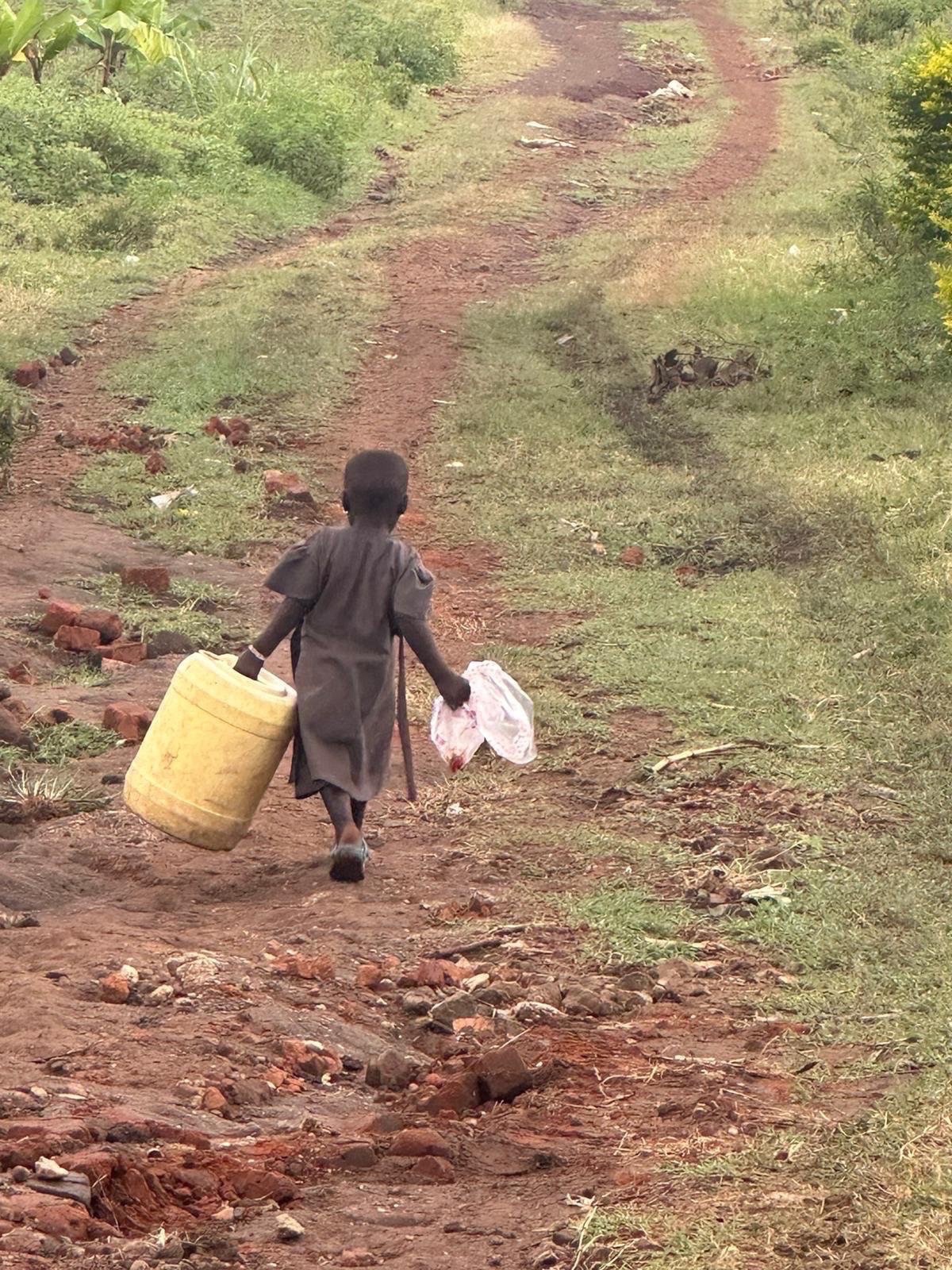
Water access in rural Uganda — a daily task that connects people directly to the lake's health — Photo: Mark Suer
From Kampala's Gaba landing site to the clogged bays of Ggaba and Murchison Bay — the ecology, history and human cost of Lake Victoria's most persistent environmental problem
The drive from Entebbe Airport into Kampala takes about forty-five minutes on a good day, significantly longer in heavy traffic, and the road plunges you straight into one of East Africa's most energetic cities. When I arrived in October 2024, the transition from the quiet of the airport peninsula — itself surrounded by Lake Victoria on three sides — to the full roar of Kampala was immediate. Motorcycles moved in streams between lanes. Minibuses pulled in and out of stops without warning. Roadside stalls appeared in tight clusters: phone credit, fried food, timber, plastic goods, bags of charcoal. Every strip of usable pavement was occupied by some form of commerce or movement. This was not disorder but a dense, functional system that had evolved to handle the needs of a city growing faster than its infrastructure could follow.
What the drive did not show, from the elevated road, was the lake. But the lake was there — Lake Victoria's northern shore runs through Kampala's southern districts, and the water is never more than a few kilometres from the city's busiest neighbourhoods. During my four-day stay in January 2026 and a subsequent visit in May, I had the opportunity to reach the waterfront directly: at Gaba landing site and along the Ggaba shoreline in Makindye Division, where the lake presents a very different face from the scenic panoramas of the Ssese Islands or Entebbe's botanical garden beach. Here the water is functional, heavily used, and — in the coves and bays closest to the city — visibly under pressure from the invasive water hyacinth that has colonised Lake Victoria's nearshore zones for decades.
The water hyacinth problem on Lake Victoria is not new, but its persistence despite sustained control efforts reveals how difficult it is to manage an invasive species in a lake of this scale. Understanding what the plant does, where it has concentrated around Kampala, and what is being done about it matters not only to ecologists but to every fishing family, water utility and boat operator whose work depends on navigable, productive water.
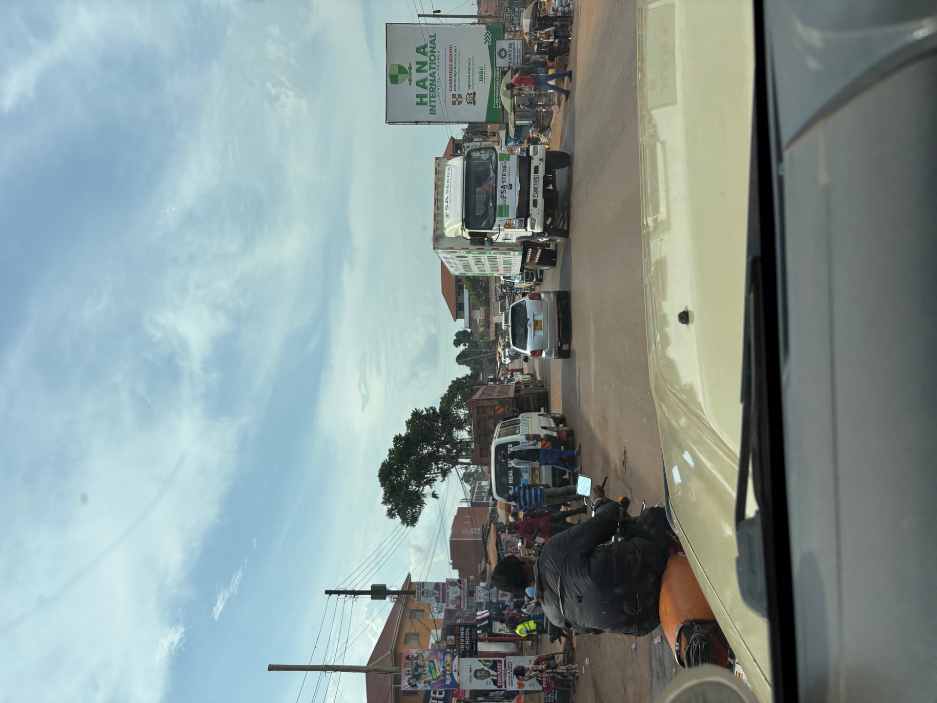
Gaba is a fishing landing site on Lake Victoria's northern shore, situated in Kampala's Makindye Division roughly ten kilometres south of the city centre. It is not a tourist attraction and does not present itself as one. The landing site functions as a working fish market and departure point for small boats operating across the southern portion of Kampala's lake frontage. Early mornings bring the most activity: canoes and fibreglass motorboats returning with overnight catches, the fish offloaded onto low tables or spread directly on the ground, buyers from Kampala's markets arriving to negotiate prices before the heat intensifies.
Nearby Ggaba is part of the same Makindye Division shoreline — an area that the Multi-Hazard Risk and Vulnerability Profile for Kampala (August 2018) specifically identifies as having documented water hyacinth presence in Murchison Bay, the large inlet of Lake Victoria that forms Kampala's entire lake-facing edge. The Ggaba area sits at the eastern end of this bay, where the water is shallow enough and the current slow enough that floating vegetation accumulates rather than dispersing.
Murchison Bay is named not for Murchison Falls to the north but for the same nineteenth-century Royal Geographical Society president who lent his name to much of Uganda's colonial-era cartography. Today, the bay serves Kampala in multiple ways simultaneously: it receives the treated outflow from Kampala's main water treatment works, it supplies raw water to the National Water and Sewerage Corporation's Gaba Water Works (one of the city's primary drinking water sources), it hosts the Gaba and other landing sites, and it endures the cumulative pressure of a city whose drainage and industrial runoff reach the lake through its shores. The water hyacinth thrives precisely in these conditions — nutrient-enriched, slow-moving, sheltered from strong winds.
The Salama parish area, also in Makindye Division, has been noted for significant wetland degradation and encroachment — informal development extending into the papyrus buffer zones that once filtered runoff before it reached the bay. Where papyrus is removed and replaced by structures or bare soil, the nutrient load reaching the open water increases, which in turn favours the water hyacinth. The KCCA's drainage maintenance programme, which in recent years has included work on the Nalukolongo-Kansanga-Ggaba-Mayanja-Kinawataka drainage system (according to KCCA Ministerial Policy Statement 2017-2018), addresses flooding but does not directly resolve the wetland loss that allows the lake to become more vulnerable.
Eichhornia crassipes, the water hyacinth, is a floating aquatic plant native to South America. It arrived in East Africa through the ornamental plant trade — it is genuinely beautiful in a contained pond, producing pale violet flowers above broad, glossy leaves — and was first recorded on Lake Victoria in Uganda in 1988. Within a decade it had become what the United Nations Environment Programme described as the most serious weed problem on any African lake. By the mid-1990s, mats of water hyacinth covered an estimated twelve thousand square kilometres of Lake Victoria's surface, concentrated primarily on the Ugandan and Kenyan shores where nutrient enrichment from urban and agricultural runoff was highest.
The plant reproduces with extraordinary efficiency. Under ideal conditions — warm water, high nutrients, abundant sunlight — a single plant can double the size of a mat in two weeks. The mats that form are not simply thick but three-dimensional: surface vegetation over two metres deep in some areas, dense enough to walk across in places, forming a barrier as effective as any physical structure. Boats cannot pass through established mats without mechanical cutters. Fishing nets dragged through the vegetation return tangled and empty. The landing sites that communities depend on become inaccessible.
Beneath the mat, the ecological damage compounds. Dense surface cover blocks sunlight from reaching submerged aquatic plants and algae that form the base of the lake's food chain. As the water hyacinth tissue eventually dies and sinks, its decomposition consumes dissolved oxygen. The result is large zones of hypoxic water — low in oxygen, hostile to fish and the invertebrates fish feed on. Uganda's cichlid diversity, already under severe pressure from the introduced Nile perch since the 1950s, faces an additional threat from these dead zones that remove habitat for surviving endemic species.
The mats also create ideal habitat for the freshwater snails that host the bilharzia parasite (Schistosoma mansoni). Bilharzia, also called schistosomiasis, is a chronic parasitic disease that affects the liver and bladder, causing long-term debilitation in fishing communities who enter the water daily. The correlation between water hyacinth coverage and bilharzia infection rates in shoreline communities around Lake Victoria has been documented repeatedly. In the bays around Kampala where the plant concentrates most heavily, this is not an abstract risk.
Water utilities face their own challenge. The Gaba Water Works, which draws raw water from Murchison Bay, must manage hyacinth accumulation around its intake structures. When large mats detach and move with wind and current, they can partially block intakes and clog preliminary filtration screens, increasing treatment costs and, in severe cases, temporarily reducing supply capacity to the city above.
Chemical control of water hyacinth on a lake the size of Victoria was never a viable option — the volumes of herbicide required would have been catastrophic for the lake's ecology and for the communities drawing water from it. Mechanical harvesting by boat-mounted cutters has been used in specific locations, particularly around landing sites and water intakes, but it addresses symptoms rather than causes: cut plants regrow rapidly, and clearing a hectare of established mat by machine is expensive and labour-intensive.
The strategy that produced the most significant large-scale results was biological control using two species of South American weevils: Neochetina eichhorniae and Neochetina bruchi. Both feed specifically on water hyacinth — their larvae tunnel through the plant's stems and petioles, their adults feed on the leaf surfaces — and both were introduced to Lake Victoria in the early 1990s following testing to confirm they would not damage other aquatic plants. The weevils do not kill individual plants instantly; instead, they weaken them over successive generations, reducing growth rates, suppressing flowering and reproduction, and ultimately allowing wind and wave action to break up established mats.
The results were significant. By the early 2000s, hyacinth coverage on Lake Victoria had decreased substantially from its peak. Open water returned to many bays that had been completely blocked. Fishing communities regained access to landing sites. The recovery was real and measurable. However, the weevil population requires time to build after each new infestation, and heavy rainfall events that wash additional nutrients into the lake from urban drainage and farmland can trigger rapid regrowth that temporarily overwhelms the biological control effect. This dynamic explains why the water hyacinth problem in Murchison Bay and the Ggaba area has not been solved permanently but instead cycles between suppressed and active states in response to seasonal rainfall and the nutrient load carried by Kampala's drainage systems.
Researchers at Uganda's Makerere University and international partners have investigated additional approaches, including harvesting hyacinth biomass for biogas production, composting and even as a raw material for paper manufacture. These utilisation approaches reframe the plant as a resource rather than purely a nuisance, but none have been scaled to the point where they meaningfully reduce coverage. The underlying driver — nutrient enrichment of the nearshore water from urban and agricultural sources — remains the condition that keeps the hyacinth viable on Lake Victoria's Ugandan shore.
The water hyacinth is not the only environmental hazard that concentrates around the Kampala shoreline and Murchison Bay. Lake Victoria is also notorious among mariners and meteorologists for generating severe, fast-developing storms. The lake sits on the equatorial plateau where two distinct weather systems meet, and its large surface area generates its own convective systems — intense thunderstorms that can develop within hours and produce winds strong enough to capsize wooden fishing vessels.
The Multi-Hazard Risk and Vulnerability Profile for Kampala (August 2018) specifically identifies elevated storm risk for the Lake Victoria shoreline areas, including Makindye Division — the administrative zone that contains Gaba, Ggaba and the Murchison Bay frontage. Historical records from Uganda's fishing communities document repeated incidents of boats capsizing and fishermen drowning during sudden storms, particularly at night when visibility is low and weather-warning systems are least accessible to small-boat operators without radio or smartphone coverage.
The seasonal pattern on Lake Victoria involves two rainy seasons: the long rains from approximately March to May, and the shorter rains from October to December. Both periods see elevated storm frequency over the lake. Afternoon and evening are the most dangerous times for storm development, when solar heating has warmed the air mass over the lake's surface and convective instability peaks. Hailstorms, lightning strikes and waterspouts have all been recorded on the Ugandan sector of the lake, with hail causing particular damage to roof structures and small boats in shoreline communities during the worst events.
For travellers, the practical implication is straightforward: boat crossings to Ngamba Island, the Ssese Islands or any other lake destination should be planned for the morning, when conditions are most stable, and should be cancelled or postponed if thunderstorms are building over the water. My own boat crossing to Ngamba Island in October 2024 — within the shorter rainy season — was made in clear morning conditions, but by early afternoon the sky over the southern lake had closed in and a boat departure at that hour would have been inadvisable. The lake's size means that storms developing over the open water can reach the shore with very little warning time.
The Makindye Division shoreline, with its shallow bays and dense population, is also exposed to the flooding that accompanies major rain events. Drainage systems in this part of Kampala — including the Nalukolongo-Kansanga-Ggaba drainage channels — were under maintenance and construction work as documented in KCCA planning records, precisely because the combination of steep topography, impermeable surfaces and intense rainfall regularly overwhelms existing capacity. Floodwater that runs off Kampala's hillsides into the lake carries sediment, solid waste and nutrients that directly feed the conditions in which water hyacinth thrives.
Kampala is growing faster than almost any other African capital city, with urbanisation rates documented in Uganda's planning data at approximately 5.6 percent annually (Multi-Hazard Risk and Vulnerability Profile, August 2018). The Kampala Metropolitan Area — encompassing not just Kampala itself but the surrounding districts of Wakiso and Mukono — concentrates over 32 percent of Uganda's manufacturing activity and a disproportionate share of its services, migration and economic opportunity. This growth is not evenly distributed: much of it falls in informal settlements on hillsides and in flood plains that previous generations left undeveloped precisely because they were ecologically and structurally unsuitable.
The Kampala Physical Development Plan exists as the formal instrument for managing this growth — a strategic planning document that defines land use across the city and, critically, includes the lake shoreline and its wetland buffers within its planning boundary. The relationship between the Development Plan and Lake Victoria's health is direct: where the plan's wetland protections are enforced, the papyrus and riparian vegetation that filters runoff before it reaches the water remains intact; where informal development overrides the plan's boundaries, it does not.
The Kampala Fisheries Infrastructure Improvement Project, which has focused on upgrading landing sites including those in the Gaba area, represents one strand of the city's attempt to manage its relationship with the lake constructively — improving infrastructure at the points where fishing communities interact with the water, rather than leaving those intersections improvised and unregulated. Better landing sites mean better waste management, cleaner fish handling and reduced pressure on the shoreline from informal construction.
The road infrastructure that connects these lakeside communities to the rest of the city also matters. The Kampala City Roads Rehabilitation Project, which has addressed the network of streets connecting Makindye Division's lakeside areas to the broader city, included a budget allocation for third-party compensation — accommodating land acquisitions made necessary by road widening in built-up areas — that the KCCA's 2024-25 Ministerial Policy Statement records at 10 billion Uganda Shillings. That figure, flagged as requiring verification against the original source, reflects the density of land use along these routes and the complexity of improving infrastructure in a city where every usable surface has long since been occupied.
The long-term question for Lake Victoria's Kampala shoreline is whether the city's infrastructure investment can outpace the environmental pressure its growth generates. Improved drainage reduces flash-flood nutrient loading. Enforced wetland protections maintain the biological filter between urban land use and open water. Better waste management at landing sites reduces direct contamination. None of these interventions eliminate the water hyacinth problem in isolation, but together they address the nutrient enrichment that keeps the plant viable. The lake's ecology is responsive: when nutrients decrease, the hyacinth retreats. When they increase, it advances. The trajectory depends on decisions being made now, in Kampala's planning offices and on its drainage construction sites, far from the water's edge.
Water hyacinth (Eichhornia crassipes) is a floating aquatic plant native to South America, introduced to East Africa through the ornamental plant trade. On Lake Victoria, it forms dense mats that block sunlight and deplete oxygen in the water below, destroy fish habitat, block boat access to landing sites, clog water intake pipes, and create ideal conditions for bilharzia-carrying snails. It thrives in nutrient-rich water and is extremely difficult to eradicate once established.
The most heavily affected areas on the Kampala shoreline are in Makindye Division — particularly around Murchison Bay, Ggaba and the Gaba landing site area. These shallow, slow-moving bay environments receive runoff from Kampala's drainage systems and are sheltered from strong winds, creating ideal conditions for the plant to accumulate and form persistent mats. The bay also receives treated wastewater outflow, which adds to the nutrient load.
The most effective large-scale control method has been biological: the introduction of two South American weevil species (Neochetina eichhorniae and N. bruchi) that feed specifically on water hyacinth. By the early 2000s this had significantly reduced coverage from the catastrophic peak levels of the mid-1990s. However, the plant resurges after heavy rainfall events that wash nutrients into the lake, and control is therefore ongoing rather than permanent. Mechanical harvesting is used at specific sites such as landing stages and water intakes.
Boat travel on Lake Victoria is generally safe in the morning hours when conditions are most stable. The lake is prone to fast-developing afternoon storms, particularly during the two rainy seasons (March-May and October-December). Travellers should plan crossings for early in the day, monitor weather conditions and avoid travelling after midday during rainy season if thunderstorms are building. All reputable boat operators serving destinations such as Ngamba Island provide life jackets.
Kampala is growing at approximately 5.6 percent annually (Multi-Hazard Risk and Vulnerability Profile, August 2018), adding pressure to the lake's shoreline through increased runoff, encroachment into protective wetlands and higher volumes of urban waste reaching the water. Improved drainage infrastructure, enforced wetland protections and better waste management at landing sites are the main tools being used to reduce this pressure. The lake's hyacinth and water quality problems are directly linked to the nutrient load that urban growth generates.