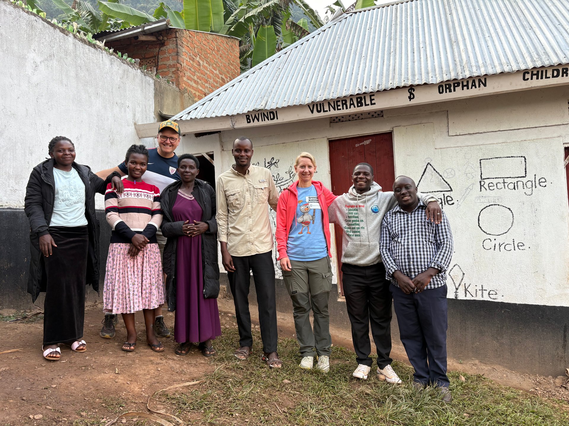
During my June 2026 visit to Uganda, I was photographing a community gathering outside a simple building in Buhoma — a group of people of different ages, standing together with the dignity and quiet strength that characterises so much of rural Ugandan life. The GPS on my camera placed that moment at -0.9617°N, 29.6108°E, in the far southwest. Some 350 kilometres to the north, in Kiryandongo District, communities in the sub-counties of Mutunda and Bweyale were living through a climate reality that in many ways defined their entire year: too little rain in the northeast, too much along the river corridor, and a growing season hanging in the balance either way.
Mutunda and Bweyale are not names that appear in most Uganda travel guides. They are sub-counties — the lower tier of Uganda's decentralised local government system — within Kiryandongo District in the Bunyoro Sub-region. Together with Ranch 1, Ranch 37, and Kiryandongo Refugee Settlement, they form the agricultural heartland of a district that has, over the past decade, become one of Uganda's most significant refugee-hosting areas. Understanding these sub-counties means understanding how the same district can be simultaneously too dry in one zone and flooded in another — and what that means for the farmers, refugees, and organisations trying to plan around it.
Mutunda Sub-county: Uganda's Driest Corner of Kiryandongo
Mutunda Sub-county occupies the northeastern part of Kiryandongo District. It is the driest area in the district by a significant margin, receiving between 888 and 1,121 millimetres of rainfall annually according to CHIRPS satellite and rain gauge data compiled for the REACH Climate Hazard Assessment of April 2026. To put this in context: 888 millimetres is close to the minimum threshold for reliable rainfed maize cultivation. In years when rainfall falls toward the lower end of this range — which the CHIRPS data indicates happens with increasing frequency — maize yields in Mutunda can drop dramatically or fail entirely.
The sub-county falls within what agricultural planners call the Karuma-Masindi-Oyam Tobacco-Maize-Cassava Zone. This agricultural zone extends across a large portion of western Uganda and is characterised by bimodal rainfall, relatively fertile soils, and the dominance of smallholder farming at household scale. Tobacco is grown as a commercial cash crop alongside subsistence staples. Maize and cassava together form the food security baseline for most households — maize for immediate consumption, cassava as a drought-tolerant backup that can be harvested over an extended period when maize fails.
The proximity of Mutunda to Masindi Port — the high-rainfall southern tip of the district — creates an interesting micro-climate gradient. Within a distance of roughly 60 kilometres, annual rainfall shifts from a potential high of 2,428 millimetres at Masindi Port to under 1,000 millimetres in the driest parts of Mutunda. This gradient reflects the interaction between the lake-effect moisture generated by Lake Victoria to the south, the Albertine Rift topography to the west, and the increasingly arid conditions of the northern Bunyoro plains.
During the March to May 2024 growing season, the REACH assessment classified precipitation in Ranch 1 and Ranch 37 — both adjacent to or overlapping with Mutunda — as "severely dry." This classification, derived from the Standardised Precipitation Index (SPI), means that rainfall was more than 1.5 standard deviations below the 10-year historical mean for that period. For households planting maize in March 2024, that meant seeds germinated into dry soil, seedlings stressed during establishment, and yields substantially reduced compared to a normal year.
Bweyale Town Council: Wetter but Flood-Exposed
Bweyale Town Council lies in central-western Kiryandongo District, in a distinctly different rainfall zone from Mutunda. It sits within the 1,122 to 1,317 millimetres annual rainfall band, placing it in the third of four rainfall zones identified in the REACH assessment. This is wetter than Mutunda but significantly drier than the Masindi Port area — a middle zone that supports a different agricultural profile while still being vulnerable to both extremes.
What distinguishes Bweyale from Mutunda is its proximity to the Victoria Nile floodplain. While Mutunda's primary risk is insufficient rainfall, Bweyale sits in terrain that is susceptible to waterlogging and flood damage during intense rainfall events. The flat topography of the Bunyoro plains means that excess water has limited relief drainage, and soil saturation during the March–May season can persist for weeks, damaging crops at a vulnerable growth stage.
Climate projections incorporated into the REACH 2026 assessment indicate that Bweyale could receive an additional 160 to 166 millimetres of annual rainfall as regional temperatures increase and the Lake Victoria basin's hydrological cycle intensifies. This projected increase does not sound large in absolute terms — it represents roughly a 12 to 14 percent increase over the current midpoint of the rainfall range. But the timing and intensity of that additional rainfall matters as much as the total volume. If it arrives as more frequent intense events rather than distributed moderate rainfall, the flooding risk for Bweyale's cropland and pasture increases substantially even as the total annual figure rises modestly.
The Kiryandongo Refugee Settlement, the formal refugee management area, straddles both Bweyale and parts of the surrounding sub-counties. Ranch 1 and Ranch 37 — the two largest refugee settlements — fall within the same central rainfall zone and are independently assessed as high-risk for vegetation stress. According to the 2024 MSNA conducted by IMPACT Initiatives, communities in these settlements reported drought as the dominant hazard, but flooding featured prominently in the November short rains season.
| Zone / Area | Annual Rainfall | Primary Risk |
|---|---|---|
| Masindi Port (south) | 1,582–2,428 mm | Flooding, road inundation |
| Kigumba | 1,318–1,581 mm | Flooding in wet years; drought in dry |
| Ranch 1/37, Bweyale | 1,122–1,317 mm | Vegetation stress, moderate drought |
| Mutunda (northeast) | 888–1,121 mm | Drought, severe crop stress |
Subsistence Agriculture Under Dual Hazard Stress
The livelihoods of most households in Mutunda, Bweyale, and the surrounding settlements are built on subsistence agriculture. The REACH assessment characterises this clearly: "Livelihoods in Kiryandongo District are predominantly based on subsistence agriculture, with large parts of Mutunda Sub-county, Bweyale Town Council, and Kiryandongo Refugee Settlement falling within the Karuma-Masindi-Oyam Tobacco-Maize-Cassava Zone." For families farming plots measured in acres rather than hectares, without irrigation, without insurance, and with very limited cash to purchase supplementary food, a poor growing season does not mean reduced income. It means insufficient food.
Maize is the critical indicator crop in this zone. It is planted at the onset of the long rains in March and harvested in July or August. It is vulnerable at two points: germination (requiring consistent moisture in the first three weeks) and grain fill (requiring sustained moisture in June). A dry spell in March delays or kills germination. An early end to the rains in June reduces grain fill and lowers yields dramatically. In Mutunda's driest years, when March–May rainfall falls into the severely dry classification, both failure points can occur in the same season.
Cassava provides a buffer that maize cannot. It tolerates drought better, grows on poorer soils, and can be left in the ground for up to two years as a natural food reserve. But cassava takes 9 to 12 months to mature from planting, meaning households cannot simply switch to cassava when a maize crop fails mid-season. It is a medium-term adaptation strategy, not an emergency response. In Bweyale, where soil waterlogging is the greater risk, cassava roots can rot in poorly drained plots — so the same crop that provides drought insurance in Mutunda becomes vulnerable under Bweyale's wetter conditions.
Tobacco, grown as a cash crop across the zone, adds another dimension of complexity. Tobacco is even more sensitive to moisture extremes than maize and requires consistent rainfall during its vegetative growth phase. In drought years, tobacco farmers face income loss in addition to food insecurity. In flood years, tobacco fields near the Victoria Nile may be submerged before harvest. Neither outcome has easy solutions within a smallholder framework without access to credit, crop insurance, or input subsidies.
Refugee Households in the Climate Crossfire
Over 164,000 refugees from South Sudan, Sudan, and the Democratic Republic of Congo live in Kiryandongo District, distributed across formal settlements including Ranch 1, Ranch 37, and the Kiryandongo Refugee Settlement proper. These populations were already facing significant food insecurity and livelihood constraints before climate variability emerged as a compounding factor. The REACH 2026 assessment found that drought or prolonged dry spell was reported in 49% of hazard events across the district, while heavy rains accounted for 30%.
The geographic distribution of refugees across rainfall zones means that climate exposure varies significantly within the refugee population. Households in the Mutunda area face a fundamentally different climate challenge from those in Bweyale — one defined by insufficient rainfall rather than excess. Yet both face yield reductions, food insecurity, and reduced capacity to recover from a bad season. The common thread is not the specific hazard but the vulnerability: limited land allocation, insecure tenure, restricted mobility (refugees in Uganda generally cannot travel freely to other districts), and limited savings that might otherwise buffer a bad harvest.
The 2022 flooding of the Kikaito-Bakyeyo road — which left pregnant women unable to reach health centres and some delivering at home — illustrated how physical infrastructure failures turn climate hazards into humanitarian crises. The road affected communities across the central zone, including areas near Bweyale and the Ranch settlements. Its inundation did not only affect transport: it cut supply chains for food relief, blocked access to markets for those who had produce to sell, and disrupted the movement of health workers who relied on it for community outreach.
REACH's methodology for the 2026 assessment combined remote sensing through CHIRPS — a globally validated rainfall dataset that merges satellite infrared estimates with rain gauge records — with direct community surveys. The resulting sub-county level risk profiles provide the most granular publicly available climate hazard mapping for Kiryandongo District to date. For aid organisations planning seed distribution, cash transfer timing, or infrastructure investment, knowing that Mutunda faces severe drought while Bweyale faces flooding risk allows for more precisely targeted responses rather than district-wide averages that may be accurate for no one in particular.
What the Sub-county Data Tells Us About Uganda's Climate Future
The contrasting profiles of Mutunda and Bweyale are not just a local story. They reflect a wider pattern that climate scientists have identified across the Lake Victoria basin: increasing rainfall variability, with wetter areas getting more intense rainfall events and drier margins of the basin becoming more prone to extended dry spells. This is sometimes described as a "wet gets wetter, dry gets drier" dynamic, though the reality is more complex — the same location can experience both extremes within a single year, as Kiryandongo's dual hazard profile demonstrates.
The Victoria Nile connects these dynamics across geography. Excess rainfall in the Lake Victoria catchment raises the lake's water level, which in turn increases the outflow at Jinja and elevates the base flow of the Victoria Nile downstream. When this coincides with heavy local rainfall in Kiryandongo — which is more likely during El Niño years — the compounding effect on floodplain areas near Bweyale and the Ranch settlements can be severe. The 2023 Wakisanyi Village flooding occurred during a period of elevated lake levels that had been building since 2019, when Lake Victoria reached its highest recorded water level.
For travellers approaching Kiryandongo or Masindi as part of a journey toward Murchison Falls, the sub-county level detail may seem granular. But it shapes the road conditions, market availability, and community hospitality that visitors experience. A bad drought year in Mutunda means strained household budgets and reduced produce in local markets. A flood event near Bweyale means impassable roads and community stress. Understanding where you are in Uganda's agricultural and hydrological geography — and what season you are travelling in — adds a dimension to travel in this region that no standard guidebook captures.