Uganda is a country that arrives, for most international visitors, across water. The flight path into Entebbe International Airport curves low over the northern shore of Lake Victoria — Africa's largest lake — before landing on a peninsula that the lake surrounds on three sides. From that first view out the aircraft window, the scale of Uganda's relationship with water becomes apparent: this is not a country that happens to have some lakes. It is a country organised around them, economically dependent on them, and capable of offering water-based experiences that span the full range from white-water adventure to meditative stillness on a highland crater lake at nearly two thousand metres.
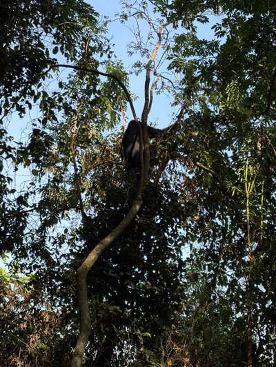
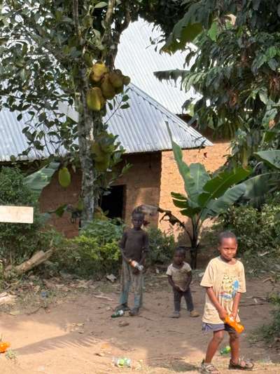
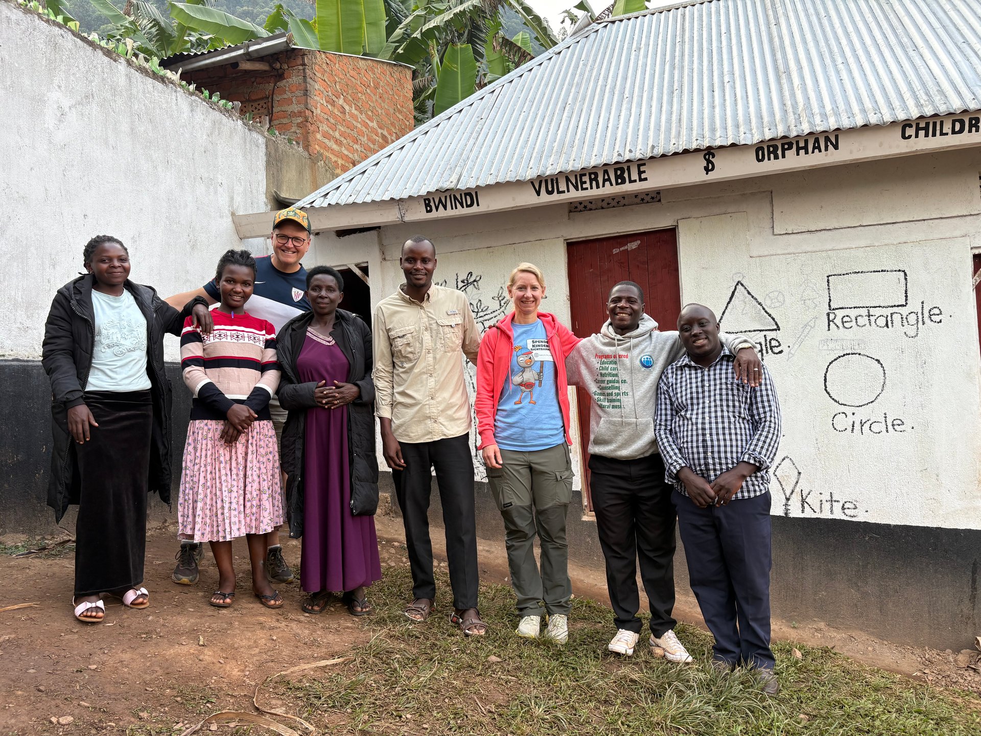
The photographs in this article were taken in June 2026 during a visit to the Buhoma area of southwestern Uganda, at GPS coordinates verified between -0.9617°N and -0.9735°N, 29.6108°E and 29.6281°E. On that same June visit, the morning began before sunrise in the highland cool that characterises Bwindi's elevation — a reminder that Uganda's water destinations span not just geography but climate, from the warm equatorial shores of Lake Victoria to the mist-wrapped crater lakes of the west and the thundering Nile at Jinja. Three visits to Uganda — October 2024, January 2026, and June 2026 — provide the direct observation base for this guide.
Uganda's water-based tourism economy is structured around four distinct geographical categories, each with its own character: the Great Rift Valley lakes along the western border (Lake Albert, Lake Edward, Lake George), the central plateau lake (Lake Victoria), the southwestern highland lakes (Bunyonyi, the Ndali-Kasenda crater lakes), and the Nile River corridor connecting Lake Victoria to Lake Albert through Jinja and the national parks of the northwest. Understanding which category suits a particular itinerary is the first step toward planning a visit that goes beyond the standard circuit.
Lake Victoria: The Entry Point and the Hub
Lake Victoria is the geographical frame around which most Uganda water tourism is organised, whether visitors engage with it directly or simply pass through Entebbe on arrival and departure. At 68,800 square kilometres, it is Africa's largest lake and the world's second-largest freshwater lake by surface area. Its Ugandan shoreline runs for roughly 200 kilometres and includes Entebbe, Kampala's lake-facing districts, and the archipelago of 84 Ssese Islands lying off the coast between Entebbe and Masaka.
The lake's water-based tourism activities on the Ugandan side centre on three zones: the Entebbe peninsula (boat trips to Ngamba Island chimpanzee sanctuary, Murchison Bay, guided birding on the lake's edge wetlands), the Ssese Islands (ferry crossing, island lodges, lake swimming, kayaking and stand-up paddleboarding in the island channels), and Jinja to the east (source of the Nile, boat trips on the upper Nile, and the start of the white-water rafting section). Kampala's own shoreline, at Munyonyo and Ggaba, offers a more urban interface with the lake — restaurants with lake views, limited boat services, and the visible but unresolved tension between the city's development ambitions and the ecological pressures on the lake's northern shore.
The Uganda Community Tourism Association (UCOTA) operates community-based tourism initiatives on and around Lake Victoria, providing an organisational framework for smaller operators and community lodges that might otherwise lack visibility in the tourism market. UCOTA-affiliated properties on the lake tend to emphasise locally owned accommodation and guide services — an approach that channels more of the tourism spend into the communities that live on the lake's shore rather than to Kampala-based operators.
Water Hyacinth: The Persistent Obstacle
Any honest account of Lake Victoria water tourism must address the water hyacinth problem, because it affects the practicality of many lake activities rather than simply being an ecological footnote. Water hyacinth — an invasive floating plant originally native to South America — has colonised significant portions of Lake Victoria's Ugandan shoreline since the 1990s, with Murchison Bay (the shallow inlet on which Kampala's Ggaba water intake sits) being one of the most heavily affected zones. Dense hyacinth mats block boat access to shoreline landing sites, create mosquito habitat, deplete dissolved oxygen in the water below, and reduce the fishing productivity of the affected areas.
Control efforts have been ongoing and partially successful, using a combination of mechanical harvesting, biological control (the weevil Neochetina eichhorniae), and improved nutrient management to reduce the lake's eutrophication. The hyacinth coverage on Uganda's shores fluctuates seasonally and in response to wind and current patterns that push the mats around the lake. For visitors planning boat activities from Entebbe or Kampala-area landing sites, it is worth checking current conditions in advance, particularly at smaller landing sites where hyacinth can entirely close boat access for weeks at a time. The main Ssese Islands ferry routes and Ngamba Island tours operate on sections of the lake that are generally managed and accessible.
The Nile at Jinja: White Water and the Source
Jinja, approximately 85 kilometres east of Kampala on Uganda's eastern plateau, sits at the point where Lake Victoria releases its water into the Victoria Nile — the beginning of the longest river in the world's journey north toward the Mediterranean. The town's principal tourist attraction has historically been this geographical distinction: the source of the Nile, marked by a monument on the eastern bank, draws visitors for its symbolic weight as much as its physical character. The actual confluence where lake water becomes river is visible from the bank, though the dramatic waterfall that originally marked the Nile's exit from the lake was submerged when the Owen Falls Dam was completed in 1954 (subsequently renamed Nalubaale Dam).
What was not submerged, and what has made Jinja Uganda's adventure tourism capital, is the Nile's character downstream from the dam. The river drops through a series of significant rapids in the section below Bujagali — a stretch of roughly 25 kilometres that constitutes one of East Africa's best white-water rafting courses. Grade 3 to Grade 5 rapids on this section are navigable by both experienced paddlers and first-timers accompanied by professional guides, and the combination of accessible difficulty, warm water, and reliable flow has established Jinja's rafting operations as a regional benchmark for white-water tourism.
The construction of Bujagali Hydroelectric Dam — completed in 2012, approximately five kilometres upstream of the original Bujagali Falls — submerged some of the most famous rapids in the rafting section. This was a significant loss to the adventure tourism industry: the pre-dam section was rated among the best white-water experiences in Africa. The surviving section below the new dam remains commercially viable, and operators report strong demand from both domestic and international visitors. Kayaking, tubing, and guided river tours complement the rafting operations; stand-up paddleboarding on the calmer sections above the main rapids is also available.
Beyond rafting, Jinja's water tourism extends to boat trips to the Source of the Nile monument, guided fishing trips targeting the Nile perch and tilapia that populate this stretch of the river, and birdwatching from the river banks — the riparian vegetation along this section of the Nile supports a productive and accessible bird community. Several operators have built activity bases on islands in the Nile just downstream of Jinja, accessible by short boat transfer, offering accommodation alongside water and land activities.
Practical Jinja Information
Jinja is approximately 1.5 to 2 hours from Kampala on the main tarmac road east, making it a feasible day trip from the capital or a short overnight addition to a Uganda itinerary. Accommodation in Jinja ranges from budget hostels to mid-range lodges and several riverside properties with direct water access. The town's commercial centre has grown substantially alongside the tourism industry, with restaurants and services oriented toward the visiting population. White-water rafting full-day trips typically include transfers from Jinja centre, safety briefing, all equipment, guides on the water, and a riverside lunch. Half-day options are available for those with limited time. [QUOTE: Jinja rafting guide on river conditions and seasonal variation — collect on next visit]
Lake Albert and the Western Rift Valley
Lake Albert lies in the western branch of the East African Rift Valley, forming the border between Uganda and the Democratic Republic of Congo at an elevation of approximately 619 metres above sea level — substantially lower than Lake Victoria, and with a markedly different character. The lake is fed primarily by the Semliki River from Lake Edward to the south and the Victoria Nile from Lake Victoria to the east, and it drains northward via the Albert Nile toward Sudan. Its waters are warm, saline by freshwater standards, and notably transparent compared to the more nutrient-loaded Lake Victoria.
Water tourism on Lake Albert is less developed than on Lake Victoria, partly because the lake's shoreline is more remote and partly because the decades of instability across the border in eastern DRC have affected investor confidence in the area. The Semliki Wildlife Reserve, on the lake's eastern shore in Ntoroko, offers the most established tourist infrastructure on the Ugandan side: accommodation (including the lakeside Ntoroko Game Lodge and UWA bandas), boat trips on the lake, and game drives in the reserve that can include hippos, buffalo, and the lake's prolific birdlife. The Semliki section of the lake is also accessible from Fort Portal, the main regional hub, via a scenic road that drops through the Rift Valley escarpment.
Fishing on Lake Albert is economically significant at the local level — the Nile tilapia and Mukene (a small sardine-like species dried and traded across the region) are the main catches. The fishing communities along the Albert shore are among the more isolated in Uganda, largely cut off from the national road network, and tourism development in this area remains at an early stage. Plans for improved water transport infrastructure — including proposed docking piers at multiple points around Uganda's lakes — have been documented in Uganda Tourism Board planning documents, with Lake Albert explicitly included. The realisation of this infrastructure would significantly change the accessibility of the lake's western and southern shores.
The Highland Lakes of Southwest Uganda
Southwest Uganda's lake district — the Kigezi highlands around Kabale, the crater lake zones of the Fort Portal area, and the chain of lakes in Queen Elizabeth National Park — represents Uganda's most scenic water environment and, in several respects, its most distinctive water tourism offering. The elevation of this region, which rises to nearly 2,000 metres in places, produces a temperate climate unlike anything in Uganda's lowlands: cool mornings, afternoon mists, and a green, terraced landscape that looks more like the East African highlands than the equatorial lowlands around Lake Victoria.
Lake Bunyonyi
Lake Bunyonyi, eight kilometres west of Kabale, is by most measures Uganda's most beautiful lake. It is a deep crater lake — estimated at up to 900 metres depth in its central section, though the actual maximum depth is disputed — lying at 1,962 metres above sea level. The lake extends for approximately 25 kilometres from north to south and up to 7 kilometres across, with a highly irregular shoreline of bays, inlets, and peninsulas created by the flooded valleys of the surrounding hills. Twenty-nine islands of varying size are scattered across the lake, several of which are home to lodges, community facilities, and the historical leprosy hospital established on Bwama Island by the Scottish missionary Leonard Sharp in 1921.
The water activity at Lake Bunyonyi is centred almost entirely on the traditional dugout canoe, which is both the primary local transport between islands and shore and the vehicle by which most visitors explore the lake. The calm water, the lack of motorboat traffic, and the scenic surroundings make canoe paddling here genuinely pleasurable rather than merely tolerable. Several lakeside lodges offer canoes for independent use; guided paddling tours to specific islands are also available. Swimming is safe — the lake is bilharzia-free, a significant distinction from most Ugandan lakes including Lake Victoria. The combination of safe swimming, clean water, and cool temperatures makes Lake Bunyonyi the closest thing Uganda has to a highland resort lake.
The Ndali-Kasenda Crater Lakes
The Fort Portal area in western Uganda contains Uganda's densest concentration of explosion crater lakes — small, circular lakes of extraordinary depth and vivid colour set into the rolling tea country west of the Rwenzori Mountains. The Ndali-Kasenda field, accessible from Fort Portal, holds more than a dozen individual lakes at varying elevations, some connected by channels, others completely isolated. Guided walks through the crater lake landscape — by foot, bicycle, or motorbike — provide access to viewpoints above multiple lakes and to the communities that farm the surrounding hillsides.
The crater lakes are significantly less visited than Lake Victoria or Lake Bunyonyi, and tourism infrastructure in the area reflects this: a handful of community lodges and the well-regarded Ndali Lodge perched on the rim of a crater above Lake Nyinambuga. Boat trips on individual crater lakes are available through some operators and community groups. The area's tourism character is more oriented toward walking and landscape appreciation than structured water activities — though kayaking and canoeing on the larger lakes, such as Lake Nkuruba (where a community conservation reserve operates), can be arranged with local guides.
Queen Elizabeth National Park: The Kazinga Channel
Queen Elizabeth National Park in western Uganda offers one of Uganda's most reliably spectacular water-based wildlife experiences: the boat safari on the Kazinga Channel, a natural waterway connecting Lake George and Lake Edward. The channel's banks support one of Africa's highest densities of hippos and Nile crocodiles, and the proximity from a boat — the vessel moves slowly along the channel at water level, close to both banks — produces wildlife encounters that vehicle-based game driving rarely matches. Elephants, buffalo, and numerous bird species, including the African fish eagle and various heron species, complete the channel's wildlife roster.
The Kazinga Channel boat safaris depart from the park's launch site near Mweya Peninsula, with morning and afternoon departures. They are among the most consistent wildlife experiences in Uganda: a visitor who misses lions on a game drive will almost certainly see hippos and crocodiles on the channel from uncomfortably close range. For visitors combining Queen Elizabeth with the gorilla circuit at Bwindi — the two parks are approximately two hours apart by road — the Kazinga Channel adds a lowland savannah and water dimension to what would otherwise be a forest-heavy itinerary.
Lake Mburo and the East: A Different Water Character
Lake Mburo National Park, approximately three hours from Kampala on the western road, contains Uganda's most accessible combination of lake and savannah. The park's five lakes — Mburo, Kazuma, Kigambira, Bananuka, and Mburo itself — sit within a landscape of rolling hills and acacia woodland that differs markedly from both the dense forest of Bwindi and the open savannah of Murchison Falls. Wildlife is substantial: zebra (the only national park in Uganda where they are found), impala, topi, eland, hippo, and crocodile share the park with more than 350 recorded bird species.
Water activities at Lake Mburo focus on the guided boat trip on the main lake, which provides hippo and crocodile sightings and excellent waterside birding, and on guided walks along the lakeshore — possible here in a way that is not practical at Murchison Falls or Queen Elizabeth because of the park's smaller size and the composition of its wildlife (no lions, and limited elephant). Horseback riding along the lake's edge is one of Lake Mburo's distinctive offerings, available through one of the park's lodges. The Ankole region surrounding the park also has several smaller lakes — including Lake Nyabihoko, which has been identified as a potential boat tourism site — that represent Uganda's less-visited water landscape.
Uganda Water Tourism Infrastructure: What Is Being Built
Uganda's water tourism infrastructure has historically underperformed relative to the country's natural endowment. Lake Victoria's urban shoreline around Kampala remains largely inaccessible to tourism — a mix of industrial use, informal settlement, and the absence of the waterfront promenade and pier infrastructure that would make the lake a usable amenity for city residents and visitors. Ferry services on the lake are functional but basic, with the main Kalangala route (Entebbe/Port Bell to Ssese Islands) serving a primarily local market with limited tourist-oriented amenity on board.
Plans documented in Uganda Tourism Board reporting have proposed the development of docking piers at up to twenty locations around Uganda's main water bodies, with the explicit goal of making water transport and water-based tourism more systematically accessible. Lake Albert is included in these plans alongside Lake Victoria and the Nile corridor. Implementation timelines and financing for these projects are [RECHERCHE NOETIG — current status of pier infrastructure projects as of 2026], but the planning signals a recognised gap between Uganda's water tourism potential and its current infrastructure capacity.
The Kampala Physical Development Plan — the strategic planning instrument for Kampala's physical growth — includes Lake Victoria's shoreline within its scope, with provisions for improved waterfront access as part of the city's long-term development. The gap between planning documents and on-the-ground reality is, as in many aspects of Ugandan urban development, substantial and depends on financing, political will, and the displacement of existing economic uses from shoreline land. Progress on the Kampala waterfront development has been incremental.
Planning a Water-Focused Uganda Itinerary
A Uganda itinerary built around water tourism naturally follows the country's geography. Most international visitors enter and exit through Entebbe on Lake Victoria, which creates a logical frame: begin with the lake, move to the interior, and return to the lake. The question is what to cover in between, and in what order.
A seven-to-ten-day itinerary combining Uganda's major water experiences might run: arrival at Entebbe, boat trip to Ngamba Island or Mabamba Swamp (shoebill stork), one night on the Ssese Islands, then drive west to Queen Elizabeth National Park (Kazinga Channel boat safari), continue to southwest Uganda for Lake Bunyonyi (two nights, canoe), gorilla trekking at Bwindi or Mgahinga, return via Kampala with an overnight stop in Jinja for the Nile. This covers Lake Victoria, the western Rift Valley lakes via the Kazinga Channel, Lake Bunyonyi, and the Nile — four distinct water environments in a single trip.
Visitors with more time can add the crater lakes around Fort Portal as an addition or alternative to the Ssese Islands, the Semliki Wildlife Reserve on Lake Albert's shore as an extension of the Queen Elizabeth section, or the Sipi Falls in the northeast — a series of waterfalls on the slopes of Mount Elgon accessible from the Mbale area, with hiking, rappelling, and camping options in the wet mountain environment. Uganda rewards itineraries that move off the standard circuit; the water destinations that receive the fewest visitors are not necessarily the least interesting.
The June 2026 dry season conditions observed in the Bwindi area — firm tracks, cool mornings, minimal rain — are broadly representative of the highland lake circuit at that time of year. June is part of Uganda's long dry season (June to September), which offers the most reliable conditions for both overland travel and water activities across most of the country. The exception is the crater lake and Fort Portal area, which has its own microclimate influenced by the Rwenzori Mountains and receives rain throughout the year, though the dry season months are generally drier even there. Lake Victoria's shoreline and the Ssese Islands are accessible year-round, with the main variable being lake conditions for boat crossings, which can deteriorate quickly in the afternoon thunderstorms that are characteristic of the lake's microclimate.