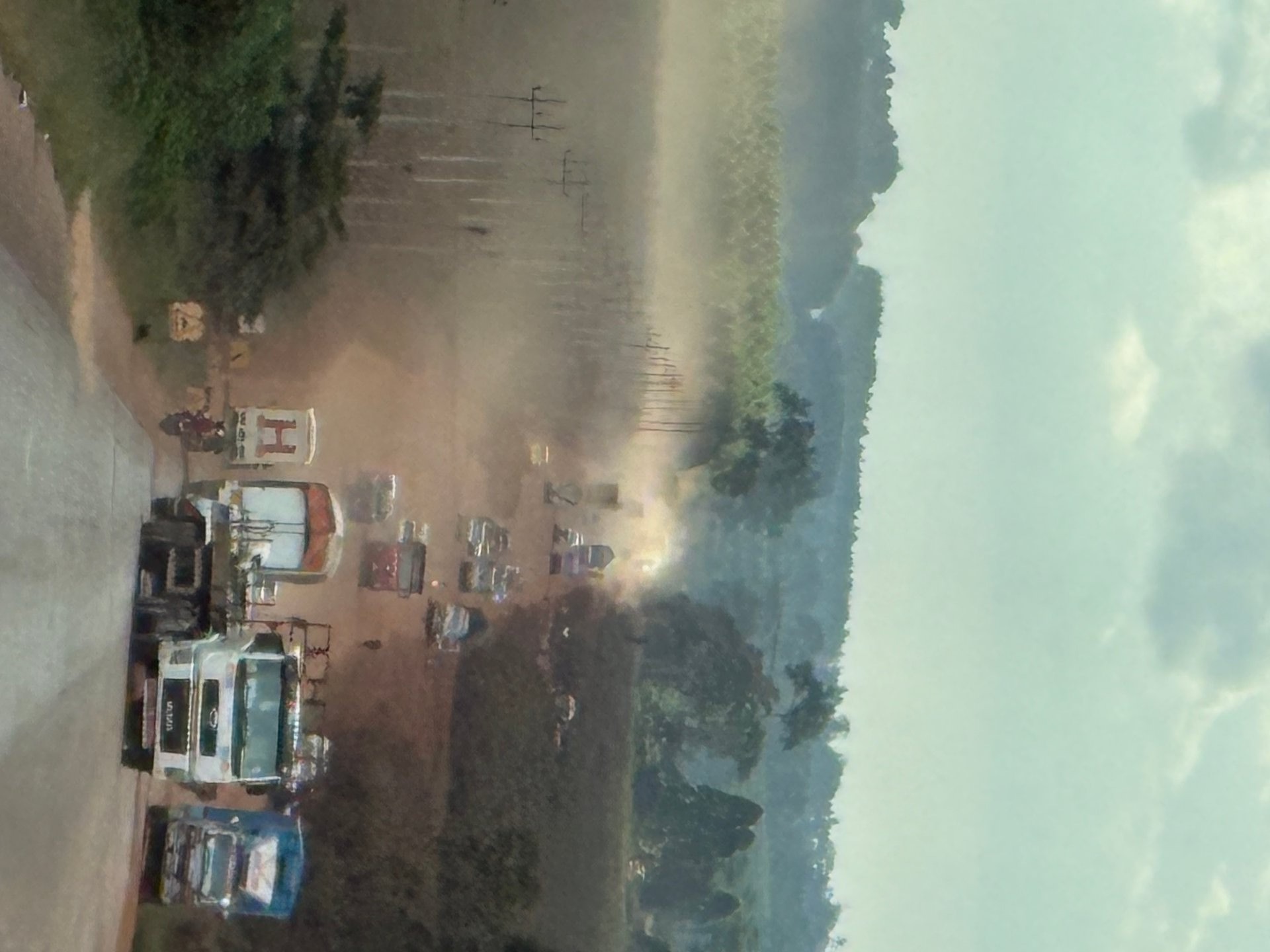
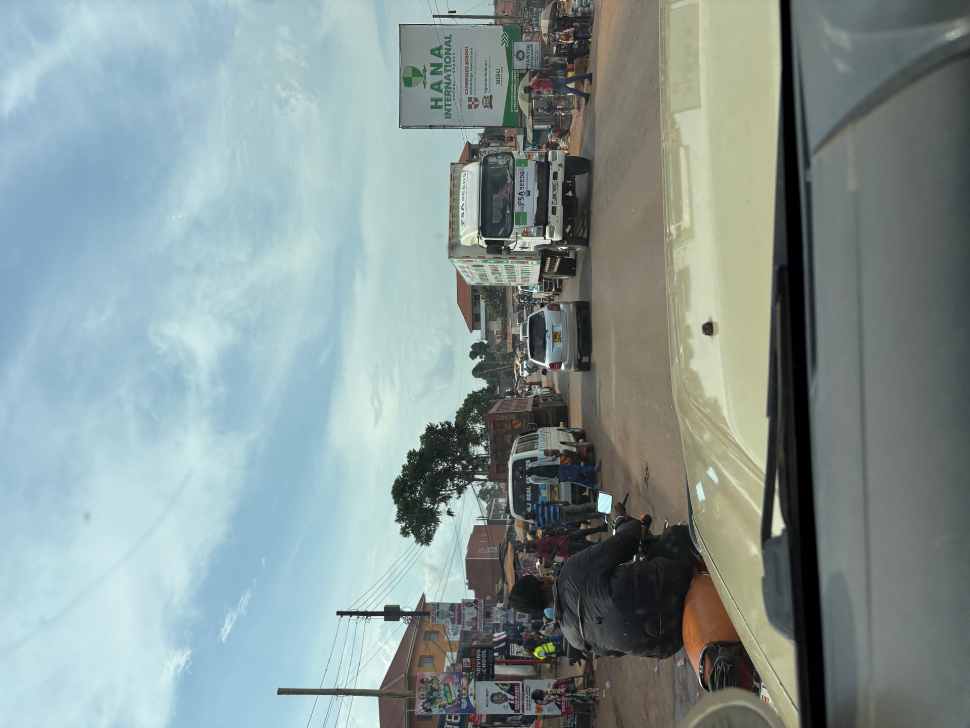
After being collected from Entebbe International Airport by a driver in a safari jeep — comfortable, roomy, the vehicle of choice for anyone making longer journeys in Uganda — the route north took us straight through the heart of Kampala. Nothing about the city presents itself gently. From the first roundabout past the airport road, the traffic is dense and the pace is determined by collective negotiation rather than formal priority: bodaboda motorcycle taxis threading gaps that cars cannot follow, minibuses pulling in and out of informal stops, pedestrians crossing at whatever angle is most direct. During the January 2026 visit and a separate trip in October 2024, Mark Suer photographed the street scenes from inside the vehicle, GPS coordinates placing the images firmly in Kampala's urban core at 0.2833°N, 32.4561°E and 0.2917°N, 32.4996°E. The energy is immediately apparent and does not diminish the longer you sit in it.
The roadside commerce is a city in itself. Stands selling phone credit, cooked food, building materials, second-hand clothing, and fresh produce line every arterial road. The informality is structural, not incidental — these are not temporary stalls tolerated at the margins but the actual economic tissue of a city that generates an estimated 65% of Uganda's national GDP (Kampala Capital City Strategic Plan 2020/21–2024/25 — verify). That statistic is difficult to reconcile with the visual impression of improvisation. Yet Kampala's apparent disorder co-exists with a city administration actively investing in transformation: a drainage network being rebuilt, roads being resurfaced across every division, sanitation infrastructure being upgraded, and environmental policies being applied at scale. Understanding both the reality on the street and the scale of the planned response is necessary for understanding where Kampala — and its relationship with Lake Victoria — is headed.
Getting from Entebbe Airport to Kampala
Entebbe International Airport is Uganda's only international airport, situated on a peninsula on the northern shore of Lake Victoria approximately 40 kilometres south of Kampala city centre. Every international visitor to Uganda arrives here, which makes the Entebbe–Kampala route one of the most-travelled road sections in the country and the first practical encounter with Uganda's transport conditions.
The most common arrangement for independent and organised travellers is a private transfer: a driver meets arrivals at the terminal with a specific vehicle, typically a saloon car, SUV, or — for those heading onward to safari or upcountry destinations — a 4WD or safari jeep. This is the option taken on multiple visits by Mark Suer and Susanne Suer; the January 2026 arrival was met at the terminal at GPS coordinates 0.0442°N, 32.4443°E by a driver with a roof-racked jeep that proved immediately practical for the roads ahead. Private transfers can be arranged through accommodation, travel agents, or directly with drivers, and the price should be agreed before departure. Journey time varies from 45 minutes in light traffic to well over two hours during peak commuting hours.
Shared minibus taxis — matatus — run between Entebbe and Kampala's Old Taxi Park throughout the day, departing from a stand outside the airport terminal. They are slower than private transfers (more stops, fuller vehicles) but significantly less expensive. They deposit passengers in Kampala's central taxi parks, from where onward connections across the city are available by further matatu or bodaboda. For travellers arriving with heavy luggage or heading to specific destinations outside the city centre, the matatu option requires navigating Kampala's taxi parks, which are functional but disorienting for first-time visitors.
A private bus service operated by licensed companies serves the corridor, with fixed departure times and reserved seating — a middle option between the full flexibility of private hire and the unpredictability of shared matatus. [RECHERCHE NOETIG: current operator names and timetables for Entebbe–Kampala express services]
The Entebbe–Kampala Road: Conditions and Construction
The road between Entebbe and Kampala is one of the most heavily invested sections of Uganda's road network, and also one of the most congested. The tarmac surface on the main Entebbe road is generally good; the challenge is volume, not surface quality. Kampala's morning rush hour begins before seven and does not clear until mid-morning. Traffic returning toward Entebbe in the evening peaks from around five o'clock and can extend substantially past seven. Planning arrivals and departures accordingly — landing mid-morning or departing after nine at night — meaningfully reduces the time spent stationary on the approach road.
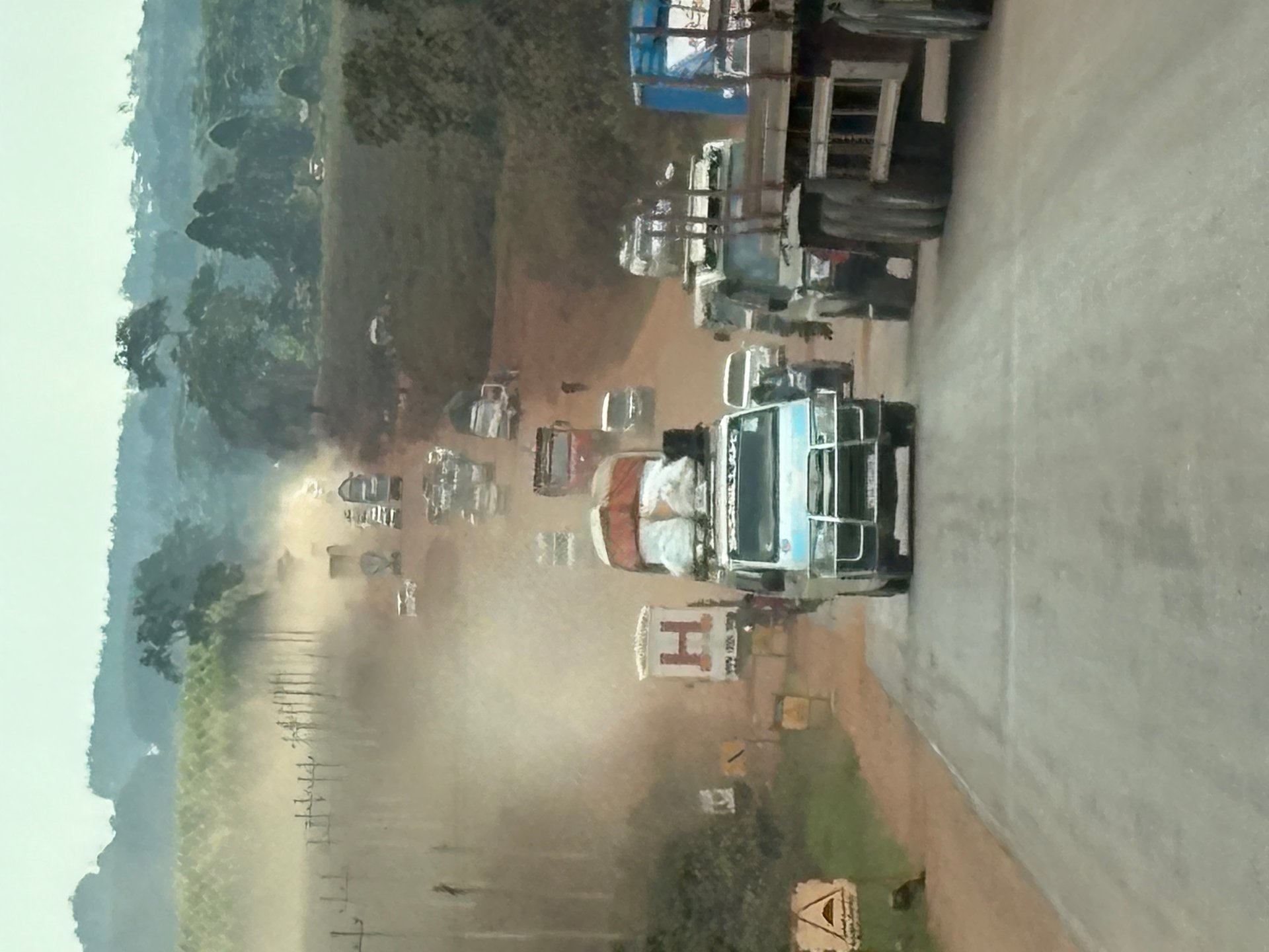
Southward from Kampala, the Masaka Highway runs toward the southwest and eventually toward the Rwandan border. On the January 2026 journey in that direction, photographer Mark Suer documented the Masaka Highway at GPS coordinates 0.1061°N, 32.1716°E and 0.1065°N, 32.1723°E. The road was under active rehabilitation — sections still unpaved, clouds of dust thrown up by lorries, bodaboda riders navigating around construction equipment at the roadside. Vehicles without air conditioning were getting the worst of it, the dust entering every gap. The long-distance lorry drivers and bodaboda riders on this route deal with these conditions daily, in dry-season heat that amplifies the discomfort. The rehabilitation work underway on this section is directly connected to the broader Kampala road investment programme discussed below — the same infrastructure imperative, applied to the highways that connect the capital to the rest of the country.
Kampala's Road Rehabilitation: Scale and Investment
The traffic and road conditions that visitors experience in Kampala are the product of decades of underinvestment compounded by rapid population growth — and they are now being addressed with a combination of external financing and government commitment at a scale that has no precedent in the city's history. Three parallel programmes are transforming the urban road network simultaneously.
The Kampala City Roads Rehabilitation Project (KCRRP), financed to approximately USD 288 million by the African Development Bank, the Global Environment Facility, and the Government of Uganda, resurfaced 88 kilometres of roads and rebuilt 27 junctions across the city (KCCA Strategic Plan 2025 — figures subject to verification). The project was supervised by two international engineering firms: Khatib and Alami-Saudi Consolidated Engineering Company for Package 1, and LEA Associates South Asia Pvt. Ltd. for Package 2. This dual-supervision structure reflects the technical complexity of urban road rehabilitation in a hilly equatorial city: drainage, slope stability, and the interaction between roads and the wetlands that run through much of the city all require specialist management.
The Kampala City Roads and Bridges Upgrading Project (KCR&BUP), financed to EUR 250 million by UK Export Finance in partnership with the Government of Uganda, extends the rehabilitation programme to a further network of streets and includes three pedestrian bridge crossings (KCCA Strategic Plan 2025). The inclusion of pedestrian bridges matters in a city where significant numbers of people cross major arterials on foot — Kampala's road network was designed for vehicle movement and pedestrians cross at their own risk on most sections. Formalised pedestrian crossings address a genuine safety problem while also improving movement efficiency at busy junctions.
Complementing the road works is the Kampala City Lighting and Infrastructure Improvement Project (KCLIIP), which plans to install over 20,800 street lights across the city (KCCA Strategic Plan 2025). Street lighting transforms urban conditions after dark: markets can operate longer, pedestrians are safer, and the informal economy that sustains so much of Kampala's activity gains viable working hours that darkness currently forecloses. For Lake Victoria's northern shoreline in particular — where landing sites and market areas operate in the evening — improved lighting infrastructure has direct implications for safety and economic activity.
The KCCA also plans to develop two dedicated bus parks and truck terminals along major arterials, with a combined budget of UGX 18 billion (KCCA Strategic Plan 2025). The current arrangement — vehicles loading and unloading on the roadside, compressing already-limited lane capacity — contributes substantially to the congestion that makes Kampala's main arteries so slow at peak hours. Purpose-built terminals that take this activity off the road would produce measurable improvements in traffic flow on the approaches where they are built.
Drainage, Flooding and Environmental Sanitation
Kampala's road problems and its environmental sanitation challenges are inseparable. The city sits on a series of hills separated by low-lying valleys that historically functioned as wetland corridors draining toward Lake Victoria. These valleys absorbed heavy tropical rainfall, filtered runoff, and provided the drainage buffer that made the hills habitable. As the city expanded, many of these valleys were filled or built over, and the drainage function they provided was lost — not replaced by equivalent engineered infrastructure. The consequence is a city that floods seriously after heavy rain, with water accumulating in low-lying areas, blocking roads, damaging property, and flowing as contaminated runoff toward the lake.
The Kampala City Drainage Improvement Project (KCDIP), estimated at UGX 447.61 billion, directly addresses this structural deficit (KCCA Strategic Plan 2025). At its scale, this is one of the most significant environmental infrastructure investments the city has undertaken. The project's scope covers primary and secondary drainage channels across multiple divisions, aiming to give the city the engineered drainage capacity that organic expansion never provided. The environmental significance of this extends beyond preventing flooding: improved drainage reduces the load of urban runoff reaching Lake Victoria's nearshore areas through Murchison Bay and the other polluted northern bays, directly benefiting water quality in the lake that the city borders.
The connection between Kampala's drainage infrastructure and Lake Victoria's health has been documented in Uganda's National Status of the Environment Report 2024 (NSOER 2024), which identifies Murchison Bay as one of the most seriously degraded sections of Lake Victoria, receiving drainage from Kampala's Nakivubo channel and its wetland. Every improvement to the city's drainage system — better channel capacity, reduced surface flooding, fewer uncontrolled discharges — reduces the nutrient and pollutant load reaching the lake. The KCDIP is therefore, in a practical sense, both a flood control project and a Lake Victoria water quality intervention.
Waste Management: The Kiteezi Transition
Kampala's solid waste management history provides a clear illustration of what happens when infrastructure capacity falls behind urban growth. The Kiteezi landfill served as the city's primary waste disposal site for decades, eventually becoming overwhelmed. Its partial collapse in the second quarter of the 2024/25 financial year forced KCCA to redirect waste to emergency alternatives at Entebbe, Katabi, and Mukono while the Buyala site was being acquired and prepared (KCCA Strategic Plan 2025). The emergency distribution added logistical complexity and cost, and placed temporary pressure on sites near water bodies.
The KCCA Strategic Plan 2025–2030 sets a timetable for decommissioning Kiteezi entirely — 15% in year one, 65% by year three, 100% by year five — while building out the Buyala site as a more appropriate long-term facility that includes a material recovery component. The plan also sets targets for source segregation campaigns, collection centre development, and community-level cleanup operations (739 in the base year, rising to 1,200 per year in subsequent years). These numbers reflect an understanding that waste management is not solely an infrastructure question: household behaviour, sorting capacity, and community engagement determine whether collection infrastructure functions as intended.
Education and Social Services: KCCA's Broader Role
The Kampala Capital City Authority is not only an infrastructure manager; it is also the provider of public services across the city's six divisions. This breadth of function — roads, drainage, waste, health, education — is worth understanding for visitors who engage with Kampala beyond a transit stop.
The KCCA's investment in education illustrates the scope of this role. In FY2024/25, the authority allocated UGX 65.635 billion to education across primary, secondary, and tertiary schools as well as teacher training (KCCA Ministerial Policy Statement 2024/25). This includes direct operational support to public schools, infrastructure maintenance, and partnership with the STEM/STEI programme that targets science, technology, engineering, and innovation skills in Kampala's public primary schools. The Directorate for Education and Social Services (DESS) coordinates this investment, alongside responsibilities for sports and tourism-related activities.
The KCCA also operates six public health centres across the city, runs an Agricultural Resource Centre providing advisory services and seed distribution to urban farmers, and supports a portfolio of professional sports clubs — including the KCCA Volleyball Ladies Club, which won the national league in 2022/2023. These activities are not incidental to the KCCA's core function; they are part of the integrated urban management model the authority operates under, in which a city administration is responsible for the full range of services its residents require.
Kampala as a Lakeside City: The Environmental Stakes
All of the infrastructure investment described above has a common environmental thread: every project that improves drainage, reduces flooding, contains solid waste, and upgrades road surfaces directly reduces the pollution load entering Lake Victoria. This is not an incidental benefit but a structural connection. Kampala sits on the lake's northern shore with over 19 kilometres of shoreline, and everything the city discharges — treated or untreated, intentionally or through runoff — flows ultimately toward the lake.
The KCCA's Strategic Plan acknowledges this connection explicitly, listing the development of Kampala's Lake Victoria shoreline as a strategic priority while also recognising the environmental sensitivity of the fringing wetlands that lie between the urban edge and open water. The plan includes wetland inventory and management strategy work, with targets for developing ecotourism sites based on wetland biodiversity — recognising that the same ecological assets that make the shoreline worth protecting are also, if properly managed, assets for tourism and recreation.
The broader ambition of the plan — reaching 90,000 visitors at Kampala's designated tourist sites by FY2029/30 (KCCA Strategic Plan 2025) — depends on the city being a place visitors want to spend time, not merely a transit point for safaris and gorilla trekking. Lake Victoria is explicitly named in KCCA documents as a defining asset in this tourism proposition: fresh water, tropical climate, accessible shoreline, and proximity to Entebbe airport all combine into an offer that has not yet been fully developed. The sanitation and infrastructure investments currently underway are, among other things, the foundation on which that tourist offer will be built.
[QUOTE: Kampala resident or KCCA official on the visible changes in the city over the past five years — collect on next visit]